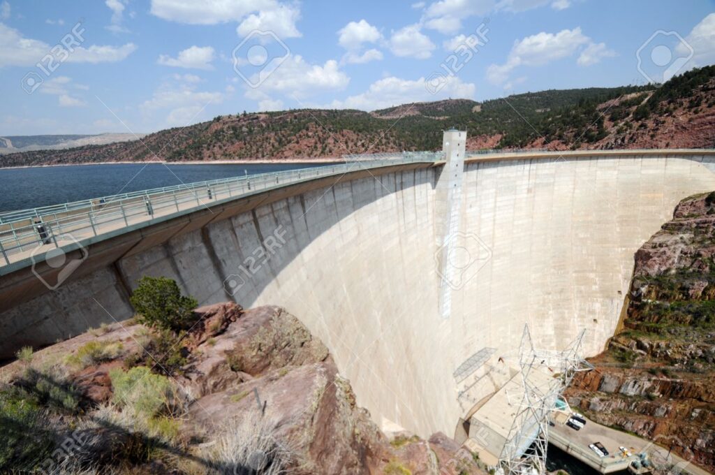
Most rivers rise and fall with the weather. The Green River below Flaming Gorge Dam answers to something else entirely: a wall of concrete. Here, white water rafting is governed less by spring storms than by decisions made at the dam, where operators control exactly how much water rushes downstream. Understanding those dam-controlled flows is the key to understanding what makes whitewater rafting on the Green River one of the most reliable — and most scenic — river adventures in the American West.
If you’ve only ever pictured whitewater as the roaring, room-sized waves of the Grand Canyon, the Green offers something different and, for most paddlers, better: dependable, beautiful, and forgiving rapids that get their character not from snowmelt but from an engineered release schedule. This is a river where you can plan a whitewater rafting adventure weeks in advance and know, with real confidence, what the water will be doing when you arrive.
What “Dam-Controlled” Actually Means
Flaming Gorge Dam went up in 1964, plugging the Green River and creating the reservoir that now backs up into Wyoming. Everything downstream — every wave, every riffle, every stretch of glassy calm — is a product of how much water the dam lets through, measured in cubic feet per second (CFS). When operators open the gates, the river swells and the rapids stand up. When they throttle back, the same run turns mellow and clear.
That makes the Green part of an exclusive club of dam-controlled whitewater rivers where releases, not rainfall, create the ride. The most famous example in the country is the Gauley River in West Virginia, where autumn releases from Summersville Dam produce some of the biggest water east of the Mississippi. The Ocoee River in Tennessee is another — scheduled dam releases there built an entire whitewater rafting industry and even hosted the 1996 Olympic slalom events. Out in the Pacific Northwest, the White Salmon River tells a similar story of flows shaped by human hands. The Green belongs on that list, with one advantage: its releases run through much of the season, not just a handful of weekends.
How Water Levels Shape the Rapids
The Green typically runs anywhere from about 800 CFS at base flow up to roughly 7,500 CFS during a high release, and that range is everything. At a low water level, the river is a gentle, clear-running float — Class I and easy Class II, ideal for families, first-timers, and anyone who wants scenery over adrenaline. As releases climb and high water arrives, the rapids wake up. Waves grow taller and pushier, eddy lines sharpen, and sections that felt like a lazy drift start to deliver genuinely thrilling rapids with a real big water feel.
This is the magic of a dam-controlled river: the same rapids can offer a completely different rafting experience from one week to the next, depending entirely on the water level. Check the release schedule before you go and you can essentially dial in the kind of white water rafting trip you want — mellow and scenic, or bouncy and splashy. Few free-flowing rivers give you that kind of predictability, and it’s what makes whitewater rafting here so approachable — every scheduled release is another adventure waiting to happen.
Know Your Sections Before You Raft
The runnable Green below the dam breaks into three classic sections, each with its own personality.
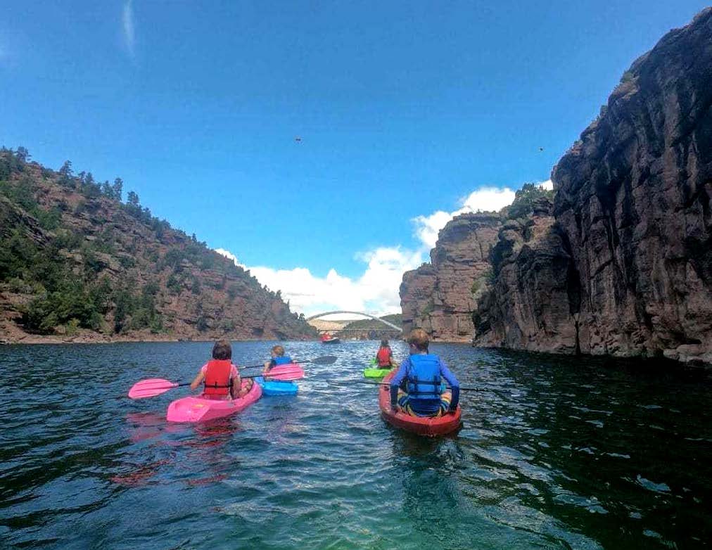
Section A — Flaming Gorge Dam to Little Hole (about 7 miles). This is the headliner and the busiest water on the river. Section A serves up an almost endless string of Class II rapids as it winds through the red walls of Red Canyon, capped by the well-known Mother-in-Law Rapid. It’s the perfect introductory whitewater rafting run: enough action to keep your heart rate up, gentle enough for kids and beginners. Day-trippers love it, and it’s an easy raft trip to pair with a shuttle back to your vehicle. Note that camping isn’t allowed on this stretch.
Section B — Little Hole to Indian Crossing (about 8 miles). Quieter and more remote, Section B saves its drama for Red Creek Rapid, a legitimate Class III rapid and the biggest single feature in the area. Between Class III rapids and long calm pools, this section rewards paddlers who want a bit more challenge and solitude, with designated riverside camping available by reservation.
Section C — Indian Crossing to Swallow Canyon (about 11.5 miles). The mellowest of the three, Section C drifts through open country and the scenic Swallow Canyon, with both designated and dispersed camping. It’s a relaxed river trip for anyone who’d rather soak in the landscape than fight the current.
Along all three, keep your eyes on the canyon rims — bighorn sheep are a common sight — and the crystal-clear, dam-cold water below your raft, which stays chilly year-round because it’s drawn from deep in the reservoir. Whether you bring your own kayak, rent a raft, or book a river guide, this is a stretch of river that consistently over-delivers.